


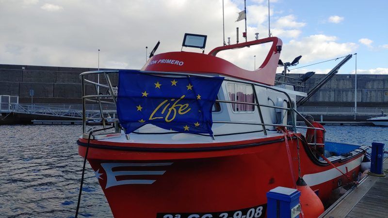
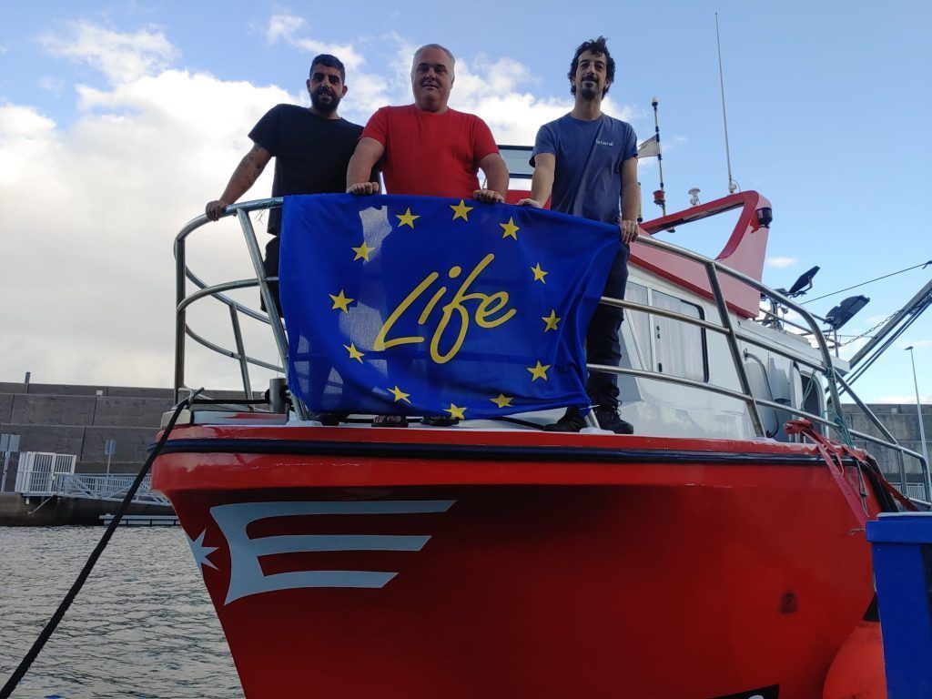
The elittoral team has carried out a bathymetric survey in Puerto de la Cruz, a strategic action for the development of the early warning system in the town.
Bathymetry, which is equivalent to altimetry on the Earth's surface but applied to the marine environment, will provide accurate data on the depth, structure and relief of the seabed. The uprising began on December 19 with the help of local fishermen.
The resulting map will be essential for project collaborators, since it will allow them to simulate the propagation of waves on the cartography of the areas of interest. This information will be used to develop the Puerto de la Cruz early warning system, one of the replication areas of the project.